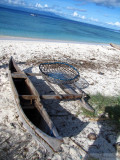
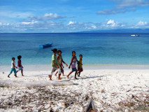
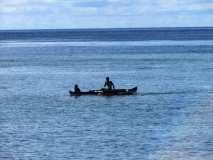
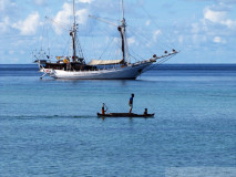
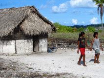
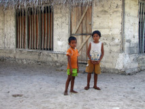
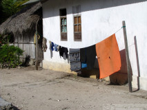
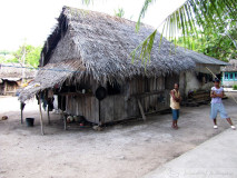
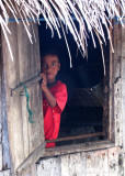
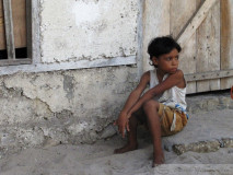
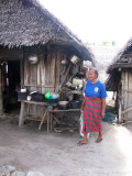
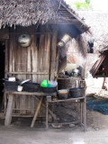
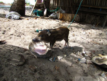
Dawelor Island is located in the Babar Islands roughly 160 miles east of East Timor and 300 miles north of Darwin, Australia or 7 degrees 66 minutes south and 129 degrees 40 minutes east. The arid Australian climate has a significant effect on the Babar Islands. While there is plentiful rain from Christmas till June, there is no rain from July till Christmas again. The wind blows almost constantly from the East from April through December, and from the West from January to March. There is a calm season in both November and March.Babar Island, the archipelago’s namesake, at a height of around 700 meters dominates the local horizon. While Babar Island itself is relatively fertile and has abundant water due to its size and height which attracts rain clouds, it is surrounded by five much smaller and lower islands (located roughly at the cardinal directions) that are arid and infertile. Dawelor Island is one of these smaller, desert islands. For several months just before Christmas water becomes so scarce that the people often have to line up and wait at the well for their meager ration, they drink less than a liter each per day and must bath, launder and wash dishes in sea water. Fresh fruit and vegetables are unavailable due to the infertility and aridity, so malnutrition is a problem. Malnutrition makes people more susceptible to contracting illnesses and infections, and less able to recover from them as well.The villages of Dawelor Island are located near the seashore either on flat sandy areas or among house sized coral boulders, cliffs and outcroppings. Every village has coconut palm trees towering above the thatch roofs providing shade and a constant whispering in the never-ending trade winds. Most houses do not have glass windows and are open to any breeze that might chance by, allowing flies, mosquitoes and dust ample opportunity for entrance.
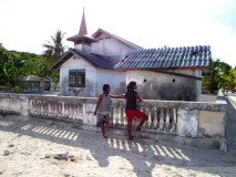
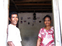
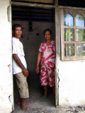
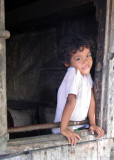
Nunyaman Village